Prepare for heavy rainfall across Marlborough today

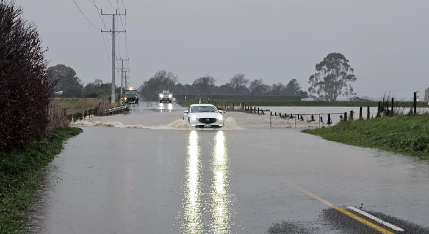
Marlborough residents have been warned about surface flooding after a heavy rain warning was put in place. Photo: File.
People are advised to avoid all non-essential travel today as rain hits the Marlborough region.
With a Heavy Rain Warning in place and an already saturated region, Marlborough residents are urged to prepare for heavy rain today with potential impacts for some communities.
All of Marlborough is likely to be affected by rainfall today, with northern Marlborough under an Orange Rain Warning. The ground is already saturated - it won't take much rainfall to bring localised flooding.
People are urged to take precautions - limit your travel, look out for surface flooding and slips; be aware that streams and rivers may rise rapidly.
Marlborough Emergency Management is activated and ready to respond as required. Local agencies, community groups and rural networks are supporting this response.
Council hydrologists are not expecting the Wairau River to get as high as last week. Based on the forecast models the maximum expected is 3,000 cumecs.
• Picton and Waikawa: Expect high-intensity rainfall from noon to late afternoon today, stream flows will increase rapidly.
• Wairau Valley: potentially high stream flows in this area
• Rai and Pelorus rivers: All weather models indicate a minor flood, though less severe than last week's event.
Marlborough Emergency Management is monitoring the situation on the region’s roads with several areas of concern.
Northbank Road is currently closed with an unstable slip site which is being monitored by geotechnical engineers. The site was closed from 6pm last night and will remain so until it is safe to reopen. Residents along Northbank Road in the Top Valley area should also be aware of the potential for slips and a rise in river levels.
Heavy rain is currently falling in Rai Valley. From Pelorus Bridge to Canvastown there is a risk of flooding possibly closing SH6. If issues arise in Pelorus, we may see the closure of Daltons Bridge and Te Hoiere Roads.
In Port Underwood, there are already multiple slips and rockfalls from Oyster Bay to Tumbledown Bay with further risk of slips for the Whatamango Bay area.
Queen Charlotte Drive also has a risk of slips and localised flooding with Moenui in particular being monitored.
Kenepuru Road remains open at present but four-wheel drive vehicles are recommended and trucks can travel by permit only.
In Wairau Valley there is pressure on the temporary road structure at Anderson Floodway and Centre Valley Bridge which could result in possible closures. Crew are monitoring the situation.
All fords in the region should be approached with caution and are at risk of flooding.
In the Awatere Valley access to Molesworth Station is limited to four wheel drive essential travel only.
Further updates will be provided as information comes to hand.
For preparedness advice go to: https://getready.govt.nz/emergency/floods If you or someone else is in immediate danger, call 111.
For more information on floodwater and contamination go to: Floods and health
To keep up to date with the latest information and alerts sign up to Antenno. All you need to do is install the app and save the specific addresses of places you care about such as your home, work, rental property or school. Antenno will notify you when something relevant to your chosen place(s) arises. Go to: www.marlborough.govt.nz/services/apps/antenno
Keep an eye on MetService for watch and warning updates at www.metservice.com/warnings/home