World-leading technology will aid Tory Channel mariners

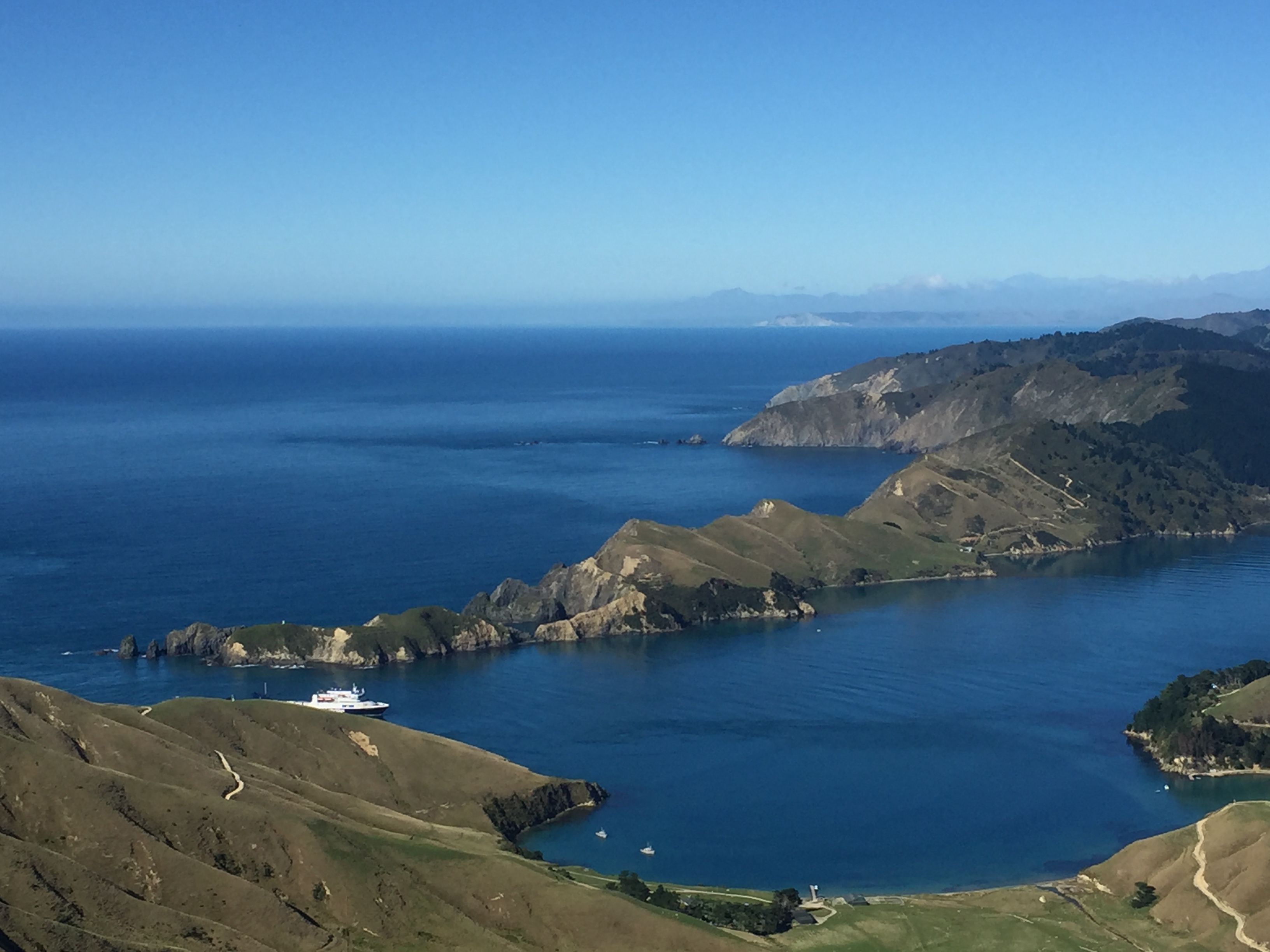
World-leading technology will provide boaties with real-time guidance on the complex tides and currents of Tory Channel/Kura te Au and has potential for applications far beyond a navigational tool. Photo: Supplied
A groundbreaking system has been developed to provide real-time guidance for mariners regarding the currents in Tory Channel/Kura te Au, with the goal of making e-navigation safer.
The world-leading technology is the result of more than two years of work as part of Council’s Tide and Current Project, run in conjunction with marine and oceanographic survey experts Oceanum, Calypso Science and iXblue.
The final project is now launched on the Marlborough District Council’s website.
“The Tory Channel is a complex waterway that has both tidal and non-tidal forces acting on it. It is also part of our State Highway 1 and therefore critical to our national transport infrastructure”, says Oceanum managing director Dr Peter McComb.
“The project was conceived to improve the safe passage for ferries, who need to know in advance what flow conditions can be expected particularly near the open ocean entrance. Here, the currents are the strongest and they also make a 90-degree turn, creating a complex and turbulent flow which makes it very hard to install and maintain current meters”.
Instead of installing a current meter, the oceanographic team at Oceanum developed a unique prediction system using water level gradients, a hydrodynamical model and machine learning to solve the problem. The idea was tested on some historical data with good results, so the Marlborough District Council decided to commission it for operations.
At the heart of the system are two very precise tide stations located at Te Weka Bay and Okokari Bay. The real time data gives readings of water height and gradients to within a few mm along the length of the channel.
Tory Channel/Kura te Au, the main trunk line for travelling between the North and South islands, has long had a reputation as a complex waterway, Harbourmaster Captain Jake Oliver told the Marlborough District Council’s Environment and Planning Committee.
“Actual currents and expected currents are not always the same which means mariners cannot be certain of the conditions until they have entered the channel”, says Jake.
“With the new system, there is now a high degree of accuracy, and we have confidence in the predictions. We can project 24 hours ahead and look back at the previous 24 hours as well.”
The Tide and Current Project was funded with $250,000 received from KiwiRail, given to Council as part of an enforceable undertaking imposed on the ferry service following an accident on the Kaiarahi Interislander ferry in April 2019.
Cawthron Institute were also contracted to undertake independent current measurements to validate the performance of the model, and data from the ship computers on some of the interisland ferries were also used.
Another factor that made the development possible was the Council’s investment in the HS51 multibeam survey of Queen Charlotte Sound/Tōtaranui in 2016/17 which captured detailed bathymetric data. “The multibeam survey and tide gauge data was freely available, so we were able to rapidly prototype the concept and them move forward into the system development with confidence”, says Peter.
“It applies very simple oceanographic physics at its core, but with modern data science and robust engineering we can blend measurements and models to solve complex problems and make this waterway much safer”.
“Marlborough District Council showed great initiative when we approached them with this novel idea, which we believe is a world-first. We’re glad it’s now available for all to use, and the Council has an open data policy to ensure the maximum outreach to mariners.”
“The technology has the potential to be much more than a navigational safety tool,” Captain Oliver agrees.
“Without the multibeam data we would not have been able to understand the shape of the Tory channel. Now we will begin looking at the feasibility of expanding the project to encompass the whole of Queen Charlotte Sound/ Tōtaranui.”
Tory Channel/Kura te Au sees currents up to seven knots (13 km/h) having been confirmed in full flood conditions, which add complexity to the challenge of navigating safely in this narrow and winding channel.
In the past twenty years there have been at least five serious grounding or near grounding incidents at the Tory Channel/Kura te Au entrance involving a large ferry or another type of ship. The most recent ship grounding was the grounding of the cruise ship Azamara Quest in January 2016.
The novel new visual aid will also be available in time via the Marlborough Cruise Guide.